Aviation Weather Web Site Links to an external site.
This website gives information about route, regional area, and local data. Route data is weather information within 50 nautical miles on either side of the flight route. Regional area data is weather information about a graphic area. Local Data is weather information within 50 nautical miles of any airports. This website also gives METARs, TAFs, and Sigmet reports, which are highly important for flights. METARs give information about the weather at departure airports, destination airports, and any airports that are close to the route. TAFs give information about weather forecasts and future weather information at airports. Sigmet reports are special reports that are made when weather changed between routine METARs reports.

(Photo Courtesy: AWWSLinks to an external site.)
ThunderstormLinks to an external site.
Thunderstorm is one major source of hazards for aviation. Thunderstorm hazards include turbulence, downbursts, lightning, heavy precipitation, tornadoes, and even hail. Every aviation authoritie requires the pilots to not fly through thunderstorms. This website provides news of the upcoming storms, storm reports and trends, probabilities of damaging winds, tornadoes, and hails. Also, it provides forecasts for upcoming tornadoes. This website can be extremely important for people planning to travel when a storm is coming, because people can figure out which routes they should avoid and which trips should be cancelled. It is also important for people who encounter upcoming thunderstorm during their routes, because this website can provide information about alternative safe routes for people, allowing people to stay safe from storms.
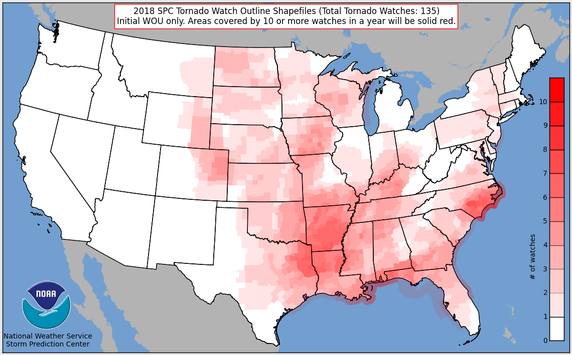
(Photo Courtesy: Storm Prediction CenterLinks to an external site.)
Ceiling and Visibility (AWC) Links to an external site.
This website provides sufficient information about ceiling and visibility at different airports around the world. Ceiling is the height (above ground level) of the lowest cloud base (below 20000 ft) and covers more than half of the sky. If celling is too low, such as when there is a fog or smoke, ceiling is reported as vertical visibility. Low visibility is highly hazardous for aviation, because in obscured conditions, pilots cannot see what hazards are in front of them, and they have difficulty to take off and to land.

(Photo Curtesy: AWC Ceiling and VisibilityLinks to an external site.)
Frontal Hazards Links to an external site.
This website demonstrates the current frontal hazards. There are several types of fronts, cold front, warm front, occluded front, and stationary front. The most dangerous one is the cold front. During flying, if a cold front is encountered, the aeroplanes will encounter heavy precipitation, and cumuliform clouds can form. Thunderstorms originate from cumuliform clouds. Warm fronts generally have better weather. Usually, stratiform clouds are found at warm fronts. Warm fronts can bring clouds, precipitation, and low ceilings. Heavy snowfall can also occur at fronts during winter. All of these hazards demonstrate that fronts can be dangerous and should be avoided. The website shows the current frontal hazards, allowing pilots to devise plan and to choose another route for their trips. Consequently, this website provides sufficient information to help people to avoid frontal hazards.

(Photo Curtesy: NOAA Frontal HazardsLinks to an external site.)


 icons at the top right corner of the subsection.